Angebot nur für Gewerbe***
Indiana Counties

Indiana Counties PowerPoint-Vorlage

(M1140)

Anpassbare PowerPoint Landkarte der USA 'Indiana Counties' zur Präsentation von US Bundesstaaten, Highways und Städten

$19.00*
Anzahl Folien16
Preis / Folie1.19 $
Folienformate4:3
SprachenDE + EN
Ihre Vorteile:
  • 100% editierbare Inhalte und Grafiken
  • Professionelles Design aus Deutschland
  • Sichere Bestellung (SSL geschützt)
  • Premium Kundensupport
  • Direkter Download

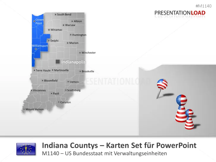
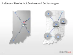
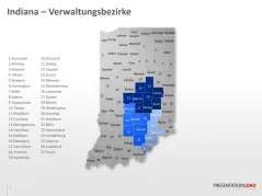
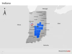
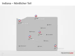
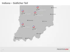
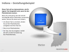
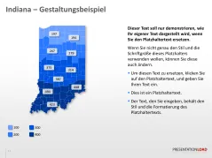
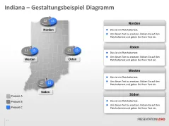
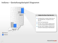
Editierbare PowerPoint Landkarte von Indiana mit Counties und großen Städten

Stellen Sie Standorte, Marketing- und Vertriebsgebiete mit Hilfe dieser digitalen PowerPoint Landkarte dar. Diese Indiana Karte im PowerPoint Vektor- Format (beinhaltet Indiana mit Couny- Grenzen, große Städte, Interstate Highways, die größten Gewässer sowie die Nachbarstaaten) ist detailliert gezeichnet und kann ohne Qualitätsverlust in der Größe skaliert, individuell eingefärbt und beschriftet werden. Alle bereits vorhandenen Texte und Beschriftungen lassen sich beliebig ändern oder löschen.

Indiana Counties
Indiana Counties
Indiana Counties
Indiana Counties
Indiana Counties
Indiana Counties
Indiana Counties
Indiana Counties
Indiana Counties
Indiana Counties
Indiana Counties
Indiana Counties
Indiana Counties
Indiana Counties
Indiana Counties
Indiana Counties